
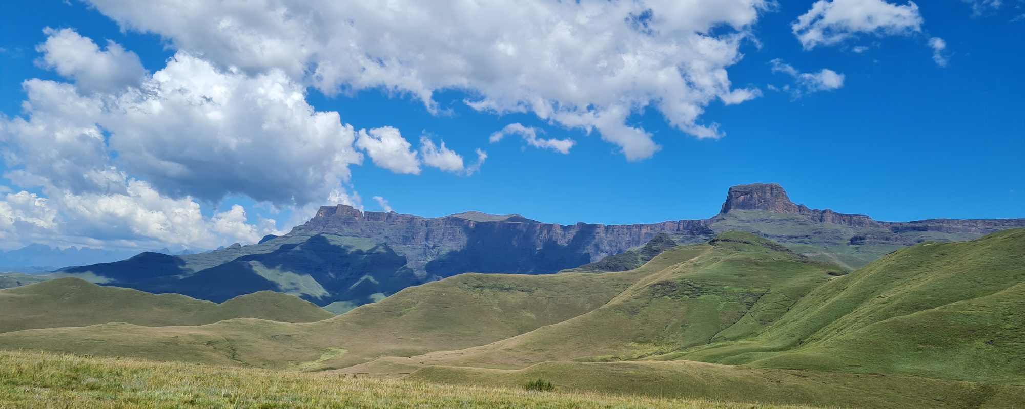
These are Dragon Peaks Resort directions of its exact location in the Drakensberg. This Dragon Peaks Map indicates that this holiday accommodation establishment is located in Cathkin Park or the Champagne Valley in the close vicinity of the famous Cathkin Peak. It is a Google Map. Follow the following Dragon Peaks Resort directions to understand the map of its exact location.
From Gauteng:
Firstly, if you are travelling from Gauteng, take the N3 to Harrismith. At Harrismith turn left onto the N5 to Bethelem. But don’t forget to turn right onto the R74 to Bergville. Then keep on the R74, travelling past the magnificent Sterkfontein Dam and Little Switzerland. This area is also known as the Oliviershoek Pass.
Carry on along the R74 and travel through Bergville. You will then reach Winterton. At the robots just after the “Pig and Plough” turn right onto the R600. Keep on the R600, for 32km. Then you will see the sign indicating the turnoff to the Dragon Peaks Resort.
From Durban or Pietermaritzburg:
In the first place, travel on the N3 from Durban. Then keep on the N3 until you see the Loskop/ Estcourt Offramp (179). Then turn left at the intersection towards Loskop. Travel along the Loskop Road. Finally, you will reach a junction with the R600. Travel 13km on the R600 until you see the sign indicating the turnoff to the Dragon Peaks Resort.
From the Free State:
Travel along the N5 through Bethlehem. Turn right onto the R74 just before Harrismith. Then keep on the R74, travelling past the magnificent Sterkfontein Dam and Little Switzerland. This area is also known as the Oliviershoek Pass.
Carry on along the R74 and travel through Bergville. You will then reach Winterton. At the robots just after the “Pig and Plough” turn right onto the R600. Keep on the R600 until you see the sign indicating the turnoff to the Dragon Peaks Resort.
GPS Co-ordinates
The GPS Co-ordinates of Dragon Peaks Resort are:
-29.017982, 29.436782
Home | Site Map| Dragon Peaks Home Page